|
Digital Files (Non-image) |
GV 007174 |
Plan of Boghall light anti-aircraft battery |
3/4/2019 |
Item Level |
|
Digital Files (Non-image) |
GV 007175 |
Plan and sections of Barochan Hill light anti-aircraft battery |
3/4/2019 |
Item Level |
|
Digital Files (Non-image) |
GV 007017 |
DES plan of Gleniffer Braes decoy control bunker |
22/1/2019 |
Item Level |
|
Digital Files (Non-image) |
GV 007183 |
Plan of Flatterton machine gun post |
4/2019 |
Item Level |
|
Digital Files (Non-image) |
GV 008403 |
Plan and sections of Auchenreoch Decoy Site, Control Centre |
11/2020 |
Item Level |
|
Digital Files (Non-image) |
GV 008406 |
Plan of High Mathernock Heavy Anti-Aircraft Battery and detail of NE gun-pit |
11/2018 |
Item Level |
|
Digital Files (Non-image) |
GV 008395 |
Rhobodach air raid shelter, plan and section. |
9/2019 |
Item Level |
|
Digital Files (Non-image) |
GV 008404 |
Gleniffer Braes decoy control bunker, plan and sections |
12/2020 |
Item Level |
|
Digital Files (Non-image) |
GV 008405 |
Plan of command post, Carmunnock |
4/2019 |
Item Level |
|
Digital Files (Non-image) |
TM 001303 |
GNSS linework relating to Aerial Defences of the Clyde Project |
4/2017 |
Item Level |
 |
On-line Digital Images |
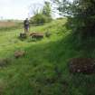
DP 258615 |
Allan Kilpatrick surveying the more westerly of the concrete blocks to the N of the hedge |
4/5/2017 |
Item Level |
 |
On-line Digital Images |
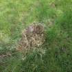
DP 258616 |
A concrete block with an iron ring |
4/5/2017 |
Item Level |
 |
On-line Digital Images |
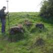
DP 258617 |
Allan Kilpatrick surveying a cluster of concrete blocks at the foot of the scarp |
4/5/2017 |
Item Level |
 |
On-line Digital Images |
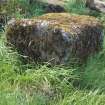
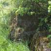
DP 258618 |
A concrete block with an asymmetrical iron loop on its summit |
4/5/2017 |
Item Level |
 |
On-line Digital Images |
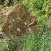
DP 258619 |
A concrete block with two rings |
4/5/2017 |
Item Level |
 |
On-line Digital Images |
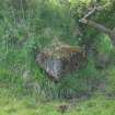
DP 258620 |
A concrete block with an asymmetrical iron loop |
4/5/2017 |
Item Level |
 |
On-line Digital Images |
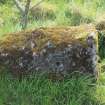
DP 258621 |
A block emerging from the foot of the scarp N of the hedgeline |
4/5/2016 |
Item Level |
 |
On-line Digital Images |
DP 258622 |
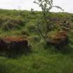
A tapering concrete block with an expanded summit - right |
4/5/2017 |
Item Level |
 |
On-line Digital Images |
DP 258623 |
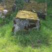
Concrete blocks at the foot of the scarp |
4/5/2017 |
Item Level |
 |
On-line Digital Images |
DP 258624 |
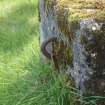
A block with an asymmetrical iron loop in its summit from the NE |
4/5/2017 |
Item Level |
 |
On-line Digital Images |
DP 258625 |
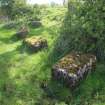
The asymmetrical iron loop in a concrete block |
4/5/2017 |
Item Level |
 |
On-line Digital Images |
DP 258626 |
Concrete blocks close to the foot of the scarp |
4/5/2017 |
Item Level |
 |
On-line Digital Images |
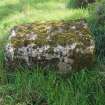
DP 258627 |
A tapering block |
4/5/2017 |
Item Level |
 |
On-line Digital Images |
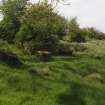
DP 258628 |
View NW from a point close to the SE end of the line of blocks |
4/5/2017 |
Item Level |


