Sortie 2014/21
551 178/2018/47
Description Sortie 2014/21
Date 14/4/2014
Collection RCAHMS Aerial Photography Digital
Catalogue Number 551 178/2018/47
Category All Other
Permalink http://canmore.org.uk/collection/1463031
Description Sortie 2014/21
Date 14/4/2014
Collection RCAHMS Aerial Photography Digital
Catalogue Number 551 178/2018/47
Category All Other
Permalink http://canmore.org.uk/collection/1463031
Collection Level (551 178) RCAHMS Aerial Photography Digital
> Sub-Group Level (551 178/2018) 2014 Photographs
>> Sub-Group Level (551 178/2018/47) Sortie 2014/21
| Preview | Category | Catalogue Number | Title | Date | Level |
|---|---|---|---|---|---|
| Digital Files (Non-image) | TM 000779 | GPS recorded flight path and map for Sortie 2014/21 | 14/4/2014 | Item Level | |
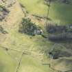 |
On-line Digital Images | DP 204816 | Oblique aerial view of Badden Township and Kincraig House, looking WNW. | 14/4/2014 | Item Level |
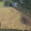 |
On-line Digital Images | DP 204818 | Oblique aerial view of Alvie hut circles and cultivation terraces, looking SE. | 14/4/2014 | Item Level |
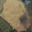 |
On-line Digital Images | DP 204819 | Oblique aerial view of Alvie hut circles and cultivation terraces, looking E. | 14/4/2014 | Item Level |
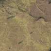 |
On-line Digital Images | DP 204821 | Oblique aerial view of Alvie hut circles and cultivation terraces, looking S. | 14/4/2014 | Item Level |
 |
On-line Digital Images | DP 204823 | Oblique aerial view of Torr Alvie Fort and Duke of Gordon's Monument, looking S. | 14/4/2014 | Item Level |
 |
On-line Digital Images | DP 204825 | Oblique aerial view of Torr Alvie Fort and Duke of Gordon's Monument, looking SE. | 14/4/2014 | Item Level |
 |
On-line Digital Images | DP 204826 | Oblique aerial view of Torr Alvie Fort and Duke of Gordon's Monument, looking SE. | 14/4/2014 | Item Level |
 |
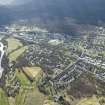
On-line Digital Images | DP 204828 | General oblique aerial view of Aviemore showing the Railway Station, Four Seasons Hotel and leisure centre, looking W. | 14/4/2014 | Item Level |
 |
On-line Digital Images | DP 204830 | Oblique aerial view of Aviemore, looking WSW. | 14/4/2014 | Item Level |
 |
On-line Digital Images | DP 204849 | Oblique aerial view of the farmsteads at Culatuim, Bolletten and Belnoe, looking S. | 14/4/2014 | Item Level |
 |
On-line Digital Images | DP 204851 | Oblique aerial view of the farmsteads at Bolletten and Belnoe, looking E. | 14/4/2014 | Item Level |
 |
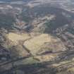
On-line Digital Images | DP 204744 | General oblique aerial view of Loch Tummel and Schiehallion, looking W. | 14/4/2014 | Item Level |
 |
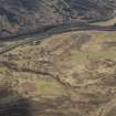
On-line Digital Images | DP 204745 | Oblique aerial view of Auchlany Farmstead and Breac-Ruidh Township, looking W. | 14/4/2014 | Item Level |
 |
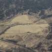
On-line Digital Images | DP 204746 | Oblique aerial view of Allt Nan Cuinneg Township and the Dunkeld to Inverness Military Road, looking W. | 14/4/2014 | Item Level |
 |
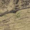
On-line Digital Images | DP 204747 | Oblique aerial view of Auchlany Farmstead and Breac-Ruidh Township, looking SSW. | 14/4/2014 | Item Level |
 |
On-line Digital Images | DP 204748 | Oblique aerial view of Tomicaldonich Farmstead, looking S. | 14/4/2014 | Item Level |
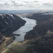 |
On-line Digital Images | DP 204749 | General oblique aerial view of Loch Garry, looking SSW. | 14/4/2014 | Item Level |
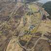 |
On-line Digital Images | DP 204750 | Oblique aerial view of Dalwhinnie, Dalwhinnie Distllery, the Dunkeld to Inverness Military Road and Dalwhinnie to Fort Augustus Military Road, looking SSW. | 14/4/2014 | Item Level |
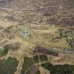 |
On-line Digital Images | DP 204751 | Oblique aerial view of Dalwhinnie, Dalwhinnie Distllery, the Dunkeld to Inverness Military Road, the Dalwhinnie to Fort Augustus Military Road and Dalwhinnie Railway Station, looking E. | 14/4/2014 | Item Level |
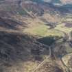 |
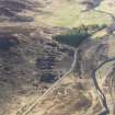
On-line Digital Images | DP 204755 | Oblique aerial view of the Dunkeld to Inverness Military Road, Crubenmore Lodge and Crubenmore Old Bridge, looking W. | 14/4/2014 | Item Level |
 |
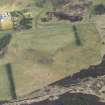
On-line Digital Images | DP 204756 | Oblique aerial view of the Dunkeld to Inverness Military Road and Crubenmore Lodge, looking SSW. | 14/4/2014 | Item Level |
 |
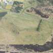
On-line Digital Images | DP 204760 | Oblique aerial view of the Dunkeld to Inverness Military Road, Phoines Township and Phones Lodge, looking SE. | 14/4/2014 | Item Level |
 |
On-line Digital Images | DP 204761 | Oblique aerial view of the Dunkeld to Inverness Military Road and Phoines Township, looking ESE. | 14/4/2014 | Item Level |

© Historic Environment Scotland. Scottish Charity No. SC045925