|
Digital Files (Non-image) |
TM 000795 |
GPS recorded flight path and map for Sortie 2014/39 |
14/7/2014 |
Item Level |
 |
On-line Digital Images |
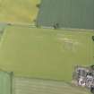
DP 193845 |
Oblique aerial view of the souterrain at Carlungie with the farmstead adjacent, looking NNW. |
14/7/2014 |
Item Level |
 |
On-line Digital Images |
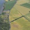
DP 193846 |
Oblique aerial view of the cropmarks of the round house, looking W. |
14/7/2014 |
Item Level |
 |
On-line Digital Images |
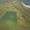
DP 193847 |
Oblique aerial view of the cropmarks of the rig, looking NNE. |
14/7/2014 |
Item Level |
 |
On-line Digital Images |
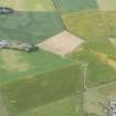
DP 193848 |
Oblique aerial view of the cropmarks of the rig and the parchmarks of the pits, looking ESE. |
14/7/2014 |
Item Level |
 |
On-line Digital Images |
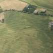
DP 193849 |
Oblique aerial view of the cropmarks of the ring ditch houses and pits, looking ESE. |
14/7/2014 |
Item Level |
 |
On-line Digital Images |
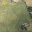
DP 193850 |
Oblique aerial view of the cropmarks of the ring ditch houses and pits, looking NNE. |
14/7/2014 |
Item Level |
 |
On-line Digital Images |
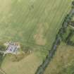
DP 193851 |
Oblique aerial view of the cropmarks of the ring ditch houses and pits, looking N. |
14/7/2014 |
Item Level |
 |
On-line Digital Images |
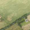
DP 193852 |
Oblique aerial view of the cropmarks of the ring ditch houses and pits, looking NNW. |
14/7/2014 |
Item Level |
 |
On-line Digital Images |
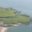
DP 193853 |
Oblique aerial view of Port Erroll, looking ENE. |
14/7/2014 |
Item Level |
 |
On-line Digital Images |
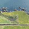
DP 193854 |
Oblique aerial view of Hall Heugh (NO 8979 9017), looking ESE. |
14/7/2014 |
Item Level |
 |
On-line Digital Images |
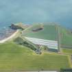
DP 193855 |
Oblique aerial view of Gaylet Pot and Lud Castle, looking ESE. |
14/7/2014 |
Item Level |
 |
On-line Digital Images |
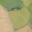
DP 193856 |
Oblique aerial view of the cropmarks of the rig, looking NNE. |
14/7/2014 |
Item Level |
 |
On-line Digital Images |
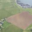
DP 193860 |
Oblique aerial view of the location of the ring ditch, looking NW. |
14/7/2014 |
Item Level |
 |
On-line Digital Images |
DP 193861 |
Oblique aerial view of the location of the ring ditch, looking SSW. |
14/7/2014 |
Item Level |
 |
On-line Digital Images |
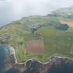
DP 193862 |
General oblique aerial view of Graighead Golf Links and Fife Ness, looking S. |
14/7/2014 |
Item Level |
 |
On-line Digital Images |
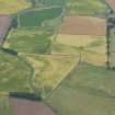
DP 193865 |
Oblique aerial view of the cropmarks of the rig, looking SSE. |
14/7/2014 |
Item Level |
 |
On-line Digital Images |
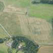
DP 193866 |
Oblique aerial view of the cropmarks of the rig, looking SSE. |
14/7/2014 |
Item Level |
 |
On-line Digital Images |
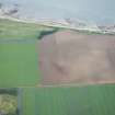
DP 193867 |
delete |
14/7/2014 |
Item Level |