|
Digital Files (Non-image) |
TM 000784 |
GPS recorded flight path and map for Sortie 2014/26 |
11/6/2014 |
Item Level |
 |
On-line Digital Images |
DP 190820 |
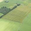
Oblique aerial view of the crop trials with Blackford Smithy in the distance, looking ESE. |
11/6/2014 |
Item Level |
 |
On-line Digital Images |
DP 190806 |
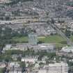
General oblique aerial view centred on the Sir Duncan Rice library, looking W. |
11/6/2014 |
Item Level |
 |
On-line Digital Images |
DP 190807 |
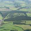
General oblique aerial view of Ladybank Golf Course, looking NNW. |
11/6/2014 |
Item Level |
 |
On-line Digital Images |
DP 190808 |
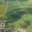
Oblique aerial view of the cropmarks of the rig, looking WSW. |
11/6/2014 |
Item Level |
 |
On-line Digital Images |
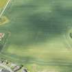
DP 190809 |
Oblique aerial view of the cropmarks of the rig, looking SW. |
11/6/2014 |
Item Level |
 |
On-line Digital Images |
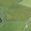
DP 190810 |
Oblique aerial view of the cropmarks of the Saint Fergus and North Ugie Canal, looking WSW. |
11/6/2014 |
Item Level |
 |
On-line Digital Images |
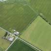
DP 190811 |
Oblique aerial view of the cropmarks of the Saint Fergus and North Ugie Canal, looking SSE. |
11/6/2014 |
Item Level |
 |
On-line Digital Images |
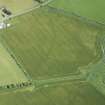
DP 190814 |
Oblique aerial view of the cropmarks of the Saint Fergus and North Ugie Canal, looking NE. |
11/6/2014 |
Item Level |
 |
On-line Digital Images |
DP 190815 |
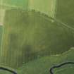
Oblique aerial view of the cropmarks of the Saint Fergus and North Ugie Canal, looking NNW. |
11/6/2014 |
Item Level |
 |
On-line Digital Images |
DP 190816 |
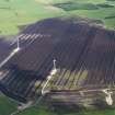
Oblique aerial view of the St Fergus Moss peat cuttings and the wind turbines, looking N. |
11/6/2014 |
Item Level |
 |
On-line Digital Images |
DP 190817 |
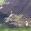
Oblique aerial view of the St Fergus Moss peat cuttings and the wind turbines, looking NNW. |
11/6/2014 |
Item Level |
 |
On-line Digital Images |
DP 190818 |
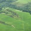
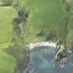
Oblique aerial view of the fort, looking S. |
11/6/2014 |
Item Level |
 |
On-line Digital Images |
DP 190819 |
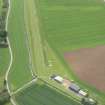
Oblique aerial view of William's Castle, looking S. |
11/6/2014 |
Item Level |
 |
On-line Digital Images |
DP 190821 |
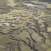
Oblique aerial view of Insch airstrip, looking ESE. |
11/6/2014 |
Item Level |
 |
On-line Digital Images |
DP 190822 |
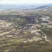
Oblique aerial view of the desiccating peat along the ridge to the W of Clachnaben, looking ENE. |
11/6/2014 |
Item Level |
 |
On-line Digital Images |
DP 190823 |
General oblique aerial view of Clachnaben, looking E. |
11/6/2014 |
Item Level |
 |
On-line Digital Images |
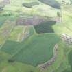
DP 190824 |
Oblique aerial view of the cropmarks of the possible field boundaries with Kinalty Haughs farmstead adjacent, looking E. |
11/6/2014 |
Item Level |
 |
On-line Digital Images |
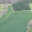
DP 190825 |
Oblique aerial view of the cropmarks of the possible field boundaries, looking E. |
11/6/2014 |
Item Level |
 |
On-line Digital Images |
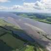
DP 190826 |
General oblique aerial view of the River Tay reed beds with Port Allen in the foreground and Fife beyond, looking ESE. |
11/6/2014 |
Item Level |
 |
On-line Digital Images |
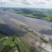
DP 190827 |
General oblique aerial view of the River Tay reed beds with Port Allen in the foreground and Fife beyond, looking ESE. |
11/6/2014 |
Item Level |


