 |
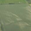
On-line Digital Images |
DP 166631 |
Oblique aerial view of the cropmarks of the ring ditches, looking NNW. |
14/7/2013 |
Item Level |
 |
On-line Digital Images |
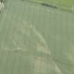
DP 166633 |
Oblique aerial view of the cropmarks of the ring ditches, looking WNW. |
14/7/2013 |
Item Level |
 |
On-line Digital Images |
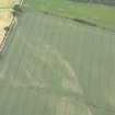
DP 166634 |
Oblique aerial view of the cropmarks of the ring ditches, looking WNW. |
14/7/2013 |
Item Level |
 |
On-line Digital Images |
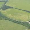
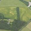
DP 166638 |
Oblique aerial view of the cropmarks of the field boundary, looking SSW. |
14/7/2013 |
Item Level |
 |
On-line Digital Images |
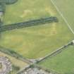
DP 166640 |
Oblique aerial view of the cropmarks of the quarries and pits, looking SSW. |
14/7/2013 |
Item Level |
 |
On-line Digital Images |
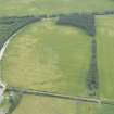
DP 166642 |
Oblique aerial view of the cropmarks of the quarries and pits, looking SE. |
14/7/2013 |
Item Level |
 |
On-line Digital Images |
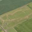
DP 166643 |
Oblique aerial view of the cropmarks of the field boundary and plantation bank, looking SSE. |
14/7/2013 |
Item Level |
 |
On-line Digital Images |
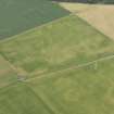
DP 166645 |
Oblique aerial view of the parchmarks of the ring ditches, looking N. |
14/7/2013 |
Item Level |
 |
On-line Digital Images |
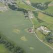
DP 166647 |
Oblique aerial view of the cropmarks of the round houses, looking N. |
14/7/2013 |
Item Level |
 |
On-line Digital Images |
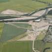
DP 166649 |
Oblique aerial view of the cropmarks of the plantation bank, looking NE. |
14/7/2013 |
Item Level |
 |
On-line Digital Images |
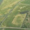
DP 166651 |
Oblique aerial view of the Forres flood defences and cropmarks of a barrow cemetery, looking NW. |
14/7/2013 |
Item Level |
 |
On-line Digital Images |
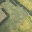
DP 166654 |
Oblique aerial view of the cropmarks of a possible sunken floored building and round house, looking WSW. |
14/7/2013 |
Item Level |
 |
On-line Digital Images |
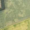
DP 166655 |
Oblique aerial view of the cropmarks of the enclosure, pits and possible round house, looking NW. |
14/7/2013 |
Item Level |
 |
On-line Digital Images |
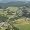
DP 166657 |
Oblique aerial view of the cropmarks of the enclosure, pits and possible round house, looking W. |
14/7/2013 |
Item Level |
 |
On-line Digital Images |
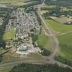
DP 166664 |
General oblique aerial view centred on Fochabers, looking ESE. |
14/7/2013 |
Item Level |
 |
On-line Digital Images |
DP 166668 |
General oblique aerial view centred on Fochabers with Mosstodloch beyond, looking NW. |
14/7/2013 |
Item Level |
 |
On-line Digital Images |
DP 166669 |
General oblique aerial view centred on Garmouth with Innes Links beyond, looking WNW. |
14/7/2013 |
Item Level |
 |
On-line Digital Images |
DP 166674 |
Oblique aerial view of the building at Sandend Bay, looking S. |
14/7/2013 |
Item Level |