1993 Photographs
551 177/18
Description 1993 Photographs
Collection RCAHMS Aerial Photography
Catalogue Number 551 177/18
Category All Other
Permalink http://canmore.org.uk/collection/1346488
Description 1993 Photographs
Collection RCAHMS Aerial Photography
Catalogue Number 551 177/18
Category All Other
Permalink http://canmore.org.uk/collection/1346488
Collection Level (551 177) RCAHMS Aerial Photography
> Sub-Group Level (551 177/18) 1993 Photographs
| Preview | Category | Catalogue Number | Title | Date | Level |
|---|---|---|---|---|---|
 |
On-line Digital Images | SC 1723947 | Oblique aerial view. | 1993 | Item Level |
 |
On-line Digital Images | SC 1723948 | General oblique view centred on the two forts, taken from the NE. | 1993 | Item Level |
 |
On-line Digital Images | SC 1723949 | General oblique view of the area NE of the chapel, taken from the SE. | 1993 | Item Level |
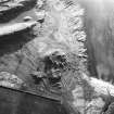 |
On-line Digital Images | SC 1723950 | Oblique aerial view centred on Little Dunagoil fort, showing field boundaries, cultivation remains, cist and farmstead, taken from NE. | 1993 | Item Level |
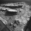 |
On-line Digital Images | SC 1723951 | Oblique view of Dunagoil and Little Dunagoil (in foreground), showing cultivation remains, cist, and field boundaries, taken from the N. | 1993 | Item Level |
 |
On-line Digital Images | SC 1723952 | Oblique aerial view. | 1993 | Item Level |
 |
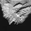
On-line Digital Images | SC 1723953 | Oblique aerial view of Dunagoil (bottom right) and Little Dunagoil (middle left) showing field boundaries, cultivations remains and cist, taken from NW. | 1993 | Item Level |
 |
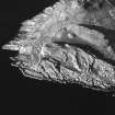
On-line Digital Images | SC 1723954 | Oblique aerial view of Dunagoil fort and Little Dunagoil (top left), showing cultivation remains, cist, and field boundaries, taken from W. | 1993 | Item Level |
 |
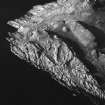
On-line Digital Images | SC 1723955 | Oblique aerial view of Dunagoil (centre) showing cultivation remains, cist, and field boundaries, taken from SW. | 1993 | Item Level |
 |
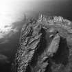
On-line Digital Images | SC 1723956 | Oblique aerial view of Dunagoil, showing cultivation remains and field boundaries, taken from S. | 1993 | Item Level |
 |
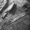
On-line Digital Images | SC 1723957 | Oblique aerial view. | 1993 | Item Level |
 |
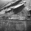
On-line Digital Images | SC 1723958 | General oblique view, taken from the SE. | 1993 | Item Level |
 |
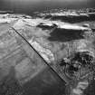
On-line Digital Images | SC 1723959 | Oblique aerial view showing fort, cist, field clearance cairns, structures and rig, taken from E. | 1993 | Item Level |
 |
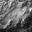
On-line Digital Images | SC 1723960 | Oblique aerial view showing forts, cist (at centre right), cultivation remains and field clearance cairns, taken from N. | 1993 | Item Level |
 |
On-line Digital Images | SC 1723961 | An oblique aerial view, centred on the remains of the building, taken from the S. | 1993 | Item Level |
 |
On-line Digital Images | SC 1723962 | An oblique aerial view, centred on the remains of the building, taken from the S. | 1993 | Item Level |
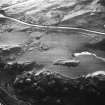 |
On-line Digital Images | SC 1723963 | Oblique aerial view. | 1993 | Item Level |
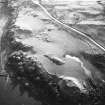 |
On-line Digital Images | SC 1723964 | Oblique aerial view. | 1993 | Item Level |
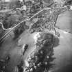 |
On-line Digital Images | SC 1723965 | Oblique aerial view. | 1993 | Item Level |
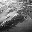 |
On-line Digital Images | SC 1723966 | Oblique aerial view. | 1993 | Item Level |
 |
On-line Digital Images | SC 1723967 | Oblique aerial view. | 1993 | Item Level |
 |
On-line Digital Images | SC 1723968 | Oblique aerial view. | 1993 | Item Level |
 |
On-line Digital Images | SC 1723969 | Oblique aerial view. | 1993 | Item Level |
 |
On-line Digital Images | SC 1723970 | Oblique aerial photograph taken from the east. | 1993 | Item Level |

© Historic Environment Scotland. Scottish Charity No. SC045925